
- info@pimser.com
- Mutlukent Neighbourhood 1989. Street No:7 Cankaya / Ankara
Quanergy
Quanergy
LiDAR is a time-of-flight sensing technology that measures the lap time between the sensor and target by firing low-power, eye-safe lasers, called Light Emit and Detection. The resulting data is used to create a 3D point cloud image and provides both spatial location and depth information to identify, classify and track moving objects.

Unlike radar, LiDAR can provide a full real-time 3D image. Also, unlike cameras, LiDAR has no risk of personal identification and has a lower false alarm rate. LiDAR creates an image of the target as soon as it determines the distance of the object, thus providing a 3D image of the object and a precise calculation of the direction it is moving – neither cameras nor radar can provide this.
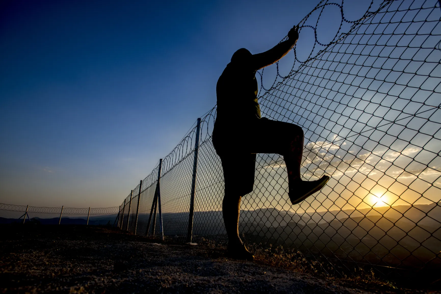

LiDAR and radar are used to determine the speed, distance and angle of moving objects. Radar uses radio waves instead of light, while cameras use it to process millions of pixels or megabytes.
Also, neither radar nor cameras can image accurately in the dark or in weather conditions such as rain, significantly limiting their ability to "see". LiDAR can provide surface measurements and precise resolution of objects within a certain distance.
More Info
Quanergy
Quanergy